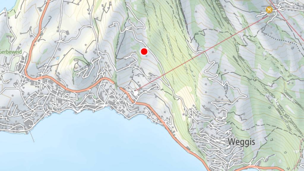
Following a landslide in the Tannenbergstrasse area, the municipality of Weggis in the canton of Lucerne is planning to introduce new monitoring systems to track slope movement. The landslide on Monday led to the evacuation of a single-family home and extensive road closures, which will remain in place for the time being due to forecasted rainfall. Additional measures, such as GPS measuring points and drone flights, will closely monitor the landslide, and a controlled reopening of the roads will only be considered once the situation has stabilized.
Brief News
Weggis: New monitoring after landslide